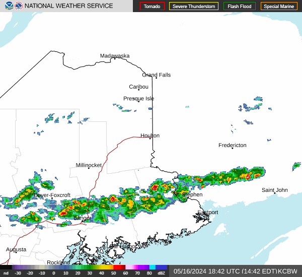


Hazardous Weather Conditions
Last Update: 545 PM EST Mon Jan 26 2026
For More Weather Information:
22NM SSW Machias ME
Marine Zone Forecast
...GALE WARNING IN EFFECT THROUGH TUESDAY MORNING... ...FREEZING SPRAY ADVISORY IN EFFECT FROM 1 AM EST TUESDAY THROUGH TUESDAY AFTERNOON...
Tonight
NE winds 15 to 20 kt, becoming N 20 to 25 kt after midnight. Gusts up to 35 kt. Seas 8 to 11 ft. Wave detail: E 11 ft at 10 seconds and N 1 foot at 3 seconds. Snow until early morning, then a chance of snow late. Light freezing spray, becoming moderate late. Vsby 1 nm or less, increasing to 1 to 3 nm late.
Tue
NW winds 20 to 25 kt with gusts up to 35 kt, diminishing to 10 to 15 kt with gusts up to 25 kt in the afternoon. Seas 6 to 9 ft, subsiding to 5 to 7 ft in the afternoon. Wave detail: SE 8 ft at 9 seconds and NW 4 ft at 4 seconds, becoming S 5 ft at 9 seconds and NW 3 ft at 4 seconds. Moderate freezing spray.
Tue Night
NW winds 10 to 15 kt with gusts up to 25 kt. Seas 3 to 5 ft. Wave detail: S 4 ft at 9 seconds and W 2 ft at 4 seconds. Light freezing spray.
Wed
NW winds 15 to 20 kt with gusts up to 30 kt. Seas 3 to 5 ft. Wave detail: S 4 ft at 9 seconds and NW 3 ft at 4 seconds. Light freezing spray.
Wed Night
NW winds 15 to 20 kt, diminishing to 10 to 15 kt after midnight. Seas 2 to 4 ft. Wave detail: NW 3 ft at 4 seconds and SW 3 ft at 9 seconds. Light freezing spray.
Thu
NW winds 10 to 15 kt, increasing to 15 to 20 kt in the afternoon. Gusts up to 30 kt. Seas 2 to 3 ft. Wave detail: NW 3 ft at 4 seconds and S 2 ft at 9 seconds. Light freezing spray.
Thu Night
NW winds 20 to 25 kt, diminishing to 15 to 20 kt after midnight. Seas 2 to 4 ft. Light freezing spray in the evening.
Fri
W winds 15 to 20 kt. Seas 2 to 4 ft.
Fri Night
NW winds 15 to 20 kt. Seas 2 to 4 ft.
Sat
NW winds 10 to 15 kt. Seas 2 to 4 ft.
Sat Night
N winds 10 to 15 kt, increasing to 15 to 20 kt after midnight. Seas 2 to 3 ft.
Additional Forecasts and Information
Basemap Options
Click map to change the forecast location
Loading map...


