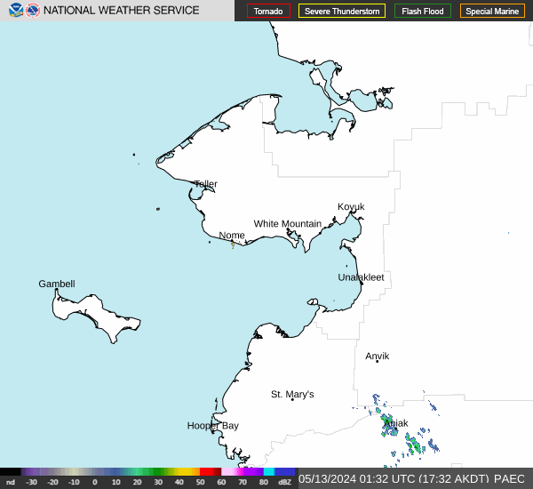


Showers and Thunderstorms in the Southeast; Above Average Temperatures Expected in the West
Showers and thunderstorms will continue to produce locally heavy rainfall and isolated severe thunderstorms across the Southern Plains and Gulf Coast states through the weekend. Above average temperatures will start building over portions of the West this weekend and peak early next week. Read More >

Last Update: 349 PM AKDT Thu May 7 2026
For More Weather Information:
7NM ESE Port Safety AK
Marine Zone Forecast
Tonight
N winds 10 kt. Seas 2 ft. Light freezing spray.
Fri
N winds 10 kt. Seas 2 ft. Light freezing spray.
Fri Night
N winds 10 kt. Seas 2 ft. Light freezing spray.
Sat
N winds 15 kt. Seas 3 ft. Light freezing spray.
Sat Night
NE winds 15 kt. Seas 2 ft.
Sun
N winds 10 kt. Seas 2 ft.
Sun Night
N winds 5 kt. Seas 1 foot.
Mon
E winds 10 kt. Seas 3 ft.
Tue
NE winds 10 kt. Seas 2 ft.
Basemap Options
Click map to change the forecast location
Loading map...


