Heavy Precipitation in California; Heavy Rainfall Continues in East Florida
A Pacific storm system will bring widespread rain and mountain snow to the West. Heavy rainfall will impact portions of central and southern California. Moderate to heavy snowfall is expected across the Sierra Nevada and portions of the higher terrain of the interior West. Heavy rainfall and thunderstorms will continue a flash flooding threat across eastern Florida through Saturday. Read More >

Hazardous Weather Conditions
Last Update: 400 AM EST Thu Nov 19 2026
For More Weather Information:
28NM NNW Marquette MI
Marine Zone Forecast
Early This Morning
South gales to 35 knots. Waves 2 to 4 feet.
Today
Southwest gales to 35 knots veering west by mid afternoon. Waves building to 4 to 7 feet occasionally to 9 feet, then subsiding to 3 to 6 feet occasionally to 8 feet.
Tonight
West winds 20 to 30 knots diminishing to 15 to 25 knots by midnight, then becoming northwest 5 to 15 knots late. Waves subsiding to calm to 2 feet.
Friday
South winds 5 to 15 knots becoming southeast 10 to 20 knots by late morning, then increasing to 15 to 25 knots by mid afternoon. Waves building to 2 to 4 feet.
Friday Night
South winds 20 to 30 knots increasing to gales to 35 knots after midnight. Waves building to 3 to 6 feet occasionally to 8 feet.
Saturday
South winds 20 to 30 knots becoming southwest 15 to 25 knots in the afternoon. A chance of showers in the morning, then showers likely in the afternoon. Waves subsiding to 1 to 3 feet.
Saturday Night
West winds 10 to 20 knots becoming northwest 15 to 25 knots after midnight. Showers likely. Waves subsiding to calm to 2 feet, then building to 2 to 4 feet.
Sunday
North gales to 35 knots diminishing to 20 to 30 knots. Rain showers, possibly mixed with snow, then a chance of snow showers, possibly mixed with rain. Waves building to 8 to 11 feet occasionally to 14 feet, then subsiding to 5 to 8 feet occasionally to 10 feet.
Monday
Northwest winds 20 to 30 knots diminishing to 15 to 25 knots. Waves subsiding to 1 to 3 feet.
Basemap Options
Click map to change the forecast location
Loading map...
 Forecast Area
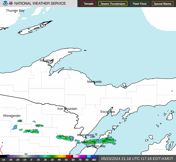
RADAR & SATELLITE IMAGES