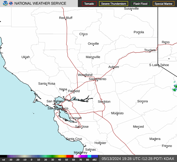


Snow Squalls May Impact New Year's Eve Travel from the Great Lakes to the Mid-Atlantic; Heavy Rain Returns to California
Lake effect snow will continue through Friday bringing significant snowfall to areas east to southeast of the Great Lakes. Snow squalls may impact New Year's Eve travel this evening and overnight across parts of the Great Lakes, Ohio Valley, Mid-Atlantic, and Upstate New York. Heavy rain will bring another flash flooding threat for southern California New Year's Eve into New Year's Day. Read More >

Hazardous Weather Conditions
Last Update: 828 AM PST Wed Dec 31 2025
For More Weather Information:
36NM SW Point Arena CA
Marine Zone Forecast
...SMALL CRAFT ADVISORY IN EFFECT FROM THURSDAY EVENING THROUGH LATE THURSDAY NIGHT......GALE WARNING IN EFFECT FROM LATE THURSDAY NIGHT THROUGH FRIDAY MORNING...
Today
E wind 5 to 10 kt, rising to 10 to 15 kt late. Seas 4 to 5 ft. Wave detail: W 5 ft at 12 seconds and S 2 ft at 14 seconds. A chance of rain early this morning, then rain late this morning and afternoon.
Tonight
E wind 10 to 15 kt, becoming SE 15 to 20 kt after midnight. Seas 5 to 6 ft, building to 5 to 8 ft after midnight. Wave detail: SW 8 ft at 12 seconds. Rain.
New Years Day
SE wind 15 to 20 kt, veering to S in the afternoon. Seas 7 to 8 ft. Wave detail: SW 8 ft at 11 seconds and S 6 ft at 13 seconds. Rain.
Thu Night
S wind 15 to 20 kt, becoming SE 20 to 25 kt with gusts up to 35 kt after midnight. Seas 6 to 8 ft. Wave detail: S 7 ft at 8 seconds and NW 5 ft at 11 seconds. Rain.
Fri
SE wind 25 to 30 kt with gusts up to 40 kt. Seas 8 to 11 ft, building to 9 to 13 ft in the afternoon. Wave detail: S 12 ft at 9 seconds and NW 3 ft at 14 seconds. Rain in the morning, then rain with a slight chance of tstms in the afternoon.
Fri Night
S wind 20 to 25 kt. Gusts up to 35 kt in the evening. Seas 11 to 15 ft. Wave detail: S 14 ft at 9 seconds and NW 4 ft at 14 seconds. Rain.
Sat
S wind 20 to 25 kt, becoming SW 15 to 20 kt in the afternoon. Seas 10 to 13 ft. Wave detail: SW 13 ft at 11 seconds and W 6 ft at 13 seconds. Rain.
Sat Night
S wind 10 to 15 kt. Seas 11 to 14 ft. Wave detail: SW 13 ft at 11 seconds and W 14 ft at 13 seconds. Rain.
Sun
S wind 10 to 15 kt. Seas 10 to 13 ft, subsiding to 8 to 10 ft in the afternoon. Wave detail: S 5 ft at 10 seconds and W 12 ft at 14 seconds. Rain.
Sun Night
S wind around 15 kt. Seas 8 to 9 ft. Wave detail: S 4 ft at 9 seconds and W 8 ft at 13 seconds. Rain.
winds and seas higher in and near tstms.
winds and seas higher in and near tstms.
Basemap Options
Click map to change the forecast location
Loading map...


