Last Update: 259 PM AKDT Sun Aug 23 2026
For More Weather Information:
15NM S Bligh Island AK
Marine Zone Forecast
Synopsis: A 1006 mb low 340 nm SE of Kodiak City exits to the North Pacific
through tonight. A front moves into the western Gulf of Alaska
Tue morning and moves to the central Gulf and Northern Gulf Coast
by Tue afternoon.
Tonight
W wind 10 kt. Seas 2 ft.
Mon
NW wind 10 kt in the morning becoming variable less than 10 kt. Seas 2 ft.
Mon Night
SE wind 10 kt increasing to 15 kt after midnight. Seas 3 ft.
Tue
SE wind 15 kt. Seas 3 ft.
Tue Night
E wind 10 kt. Seas 2 ft.
Wed Through Thu
NW wind 15 kt. Seas 2 ft.
Fri
SE wind 20 kt. Seas 4 ft.
Basemap Options
Click map to change the forecast location
Loading map...
 Forecast Area
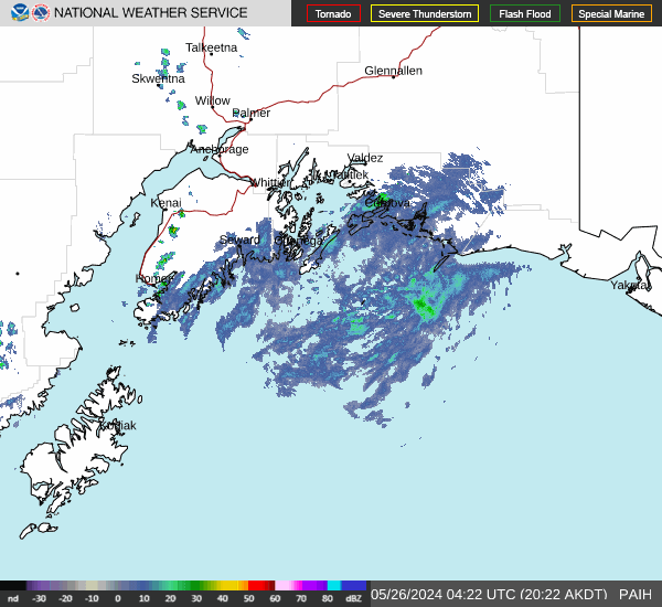
RADAR & SATELLITE IMAGES