Dangerous Heat over the South-Central and Southwest U.S. Through Next Week

Dangerous heat persists across the Desert Southwest through this weekend and across the Southern Plains and Lower Mississippi Valley through at least the middle of next week. Numerous daily record high temperatures are expected through at least Tuesday for much of Texas and Oklahoma as well as portions of Louisiana, New Mexico, and Arizona. Read More >

Last Update: 402 PM EDT Fri Aug 21 2026

View Nearby Observations

For More Weather Information:

Buffalo, NY Local Forecast Office

14NM NE Olcott NY

Marine Zone Forecast

Tonight
East winds 10 to 15 knots becoming southeast 15 to 20 knots. Waves 1 to 3 feet.
Saturday
Southeast winds 5 to 15 knots becoming east. A chance of showers and thunderstorms late. Waves 1 to 2 feet.
Saturday Night
Southeast winds 5 to 15 knots becoming southwest. Showers with a chance of thunderstorms. Waves 1 to 2 feet.
Sunday
Southwest winds 10 to 15 knots becoming west 15 to 20 knots. Showers likely in the morning, then showers with a chance of thunderstorms in the afternoon. Waves 1 to 3 feet building to 3 to 5 feet.
Sunday Night
West winds 15 to 20 knots. Showers with a chance of thunderstorms in the evening, then a chance of showers overnight. Waves 3 to 5 feet.
Monday
West winds 15 to 20 knots diminishing to 10 to 15 knots. A chance of showers. Waves 3 to 5 feet subsiding to 2 to 4 feet.
Tuesday
West winds 5 to 15 knots becoming southwest. Waves 1 to 3 feet subsiding to 1 foot or less.
Wednesday
Southwest winds 10 knots or less becoming south. A chance of showers wednesday night. Waves 1 foot or less.

winds and waves higher in and near thunderstorms.


Basemap Options
Click map to change the forecast location
Loading map...
402 PM EDT Fri Aug 21 2026


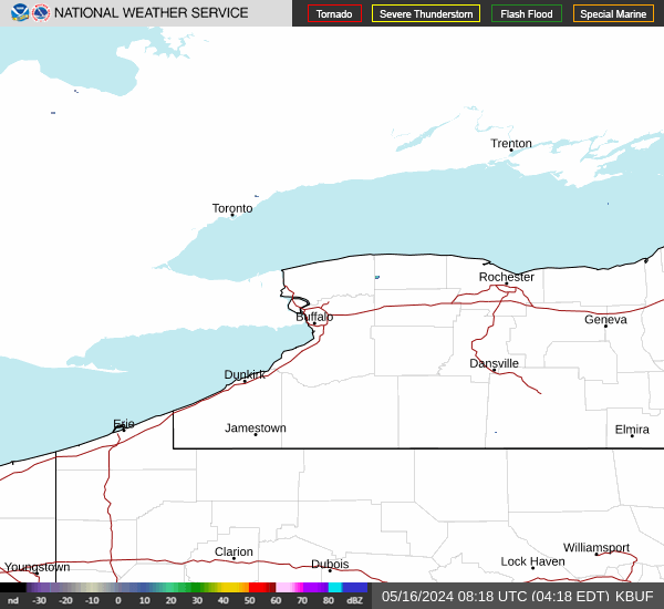
RADAR & SATELLITE IMAGES

Link to Local Radar Data Link to Satellite Data