Areas of Dangerous Heat and Severe Thunderstorms
Dangerous heat will build across the Southwest U.S. through the end of the week with daytime highs of 110-115°F. Heat across the southern Plains will briefly ease to near-normal by late week before returning over much of the Plains into next week. Severe thunderstorms are expected across parts of the central and southern High Plains, central Great Lakes, and Ozarks Wednesday. Read More >

Hazardous Weather Conditions
Last Update: 349 PM AKDT Tue Aug 25 2026
For More Weather Information:
18NM SSW Port Clarence AK
Marine Zone Forecast
...SMALL CRAFT ADVISORY IN EFFECT FROM THIS EVENING THROUGH LATE TONIGHT...
Tonight
NW winds 25 kt. Seas 5 ft subsiding.
Wed
N winds 15 kt. Seas 3 ft.
Wed Night
S winds 10 kt. Seas 2 ft.
Thu
SE winds 25 kt. Seas 4 ft.
Thu Night
E winds 30 kt. Seas 5 ft.
Fri
N winds 20 kt. Seas 4 ft.
Fri Night
N winds 20 kt. Seas 4 ft.
Sat
SW winds 15 kt. Seas 4 ft.
Sun
W winds 20 kt. Seas 4 ft.
Basemap Options
Click map to change the forecast location
Loading map...
 Forecast Area
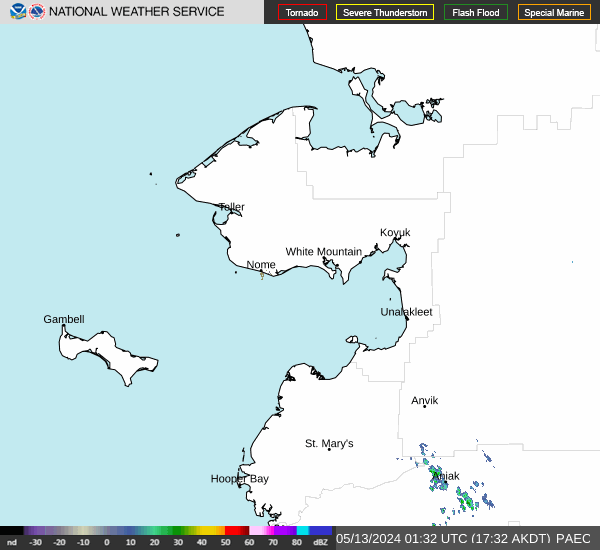
RADAR & SATELLITE IMAGES