Hazardous Weather Conditions
Last Update: 242 AM AKDT Tue Oct 13 2026
For More Weather Information:
15NM S Cape Hinchinbrook AK
Marine Zone Forecast
...SMALL CRAFT ADVISORY TONIGHT AND WEDNESDAY...
Synopsis: A 1004 mb low 110 nm SE of Kodiak City dissipates near
Hinchinbrook Entrance Tue night. A 996 mb North Pacific low
strengthens to 973 mb as it moves to 160 nm S of Castle Cape by
Thu morning. Its front moves into the Gulf from Wed morning
through Thu morning.
Today
SE wind 20 kt. Seas 6 ft. Rain showers and isolated thunderstorms.
Tonight
SE wind 25 kt becoming SW 15 kt after midnight. Seas 6 ft. Rain showers and isolated thunderstorms in the evening.
Wed
Variable wind 10 kt becoming E 25 kt in the afternoon. Seas 5 ft.
Wed Night
E wind 30 kt. Seas 10 ft.
Thu
SE wind 35 kt. Seas 15 ft.
Fri Through Sat
E wind 15 kt. Seas 8 ft.
Basemap Options
Click map to change the forecast location
Loading map...
 Forecast Area
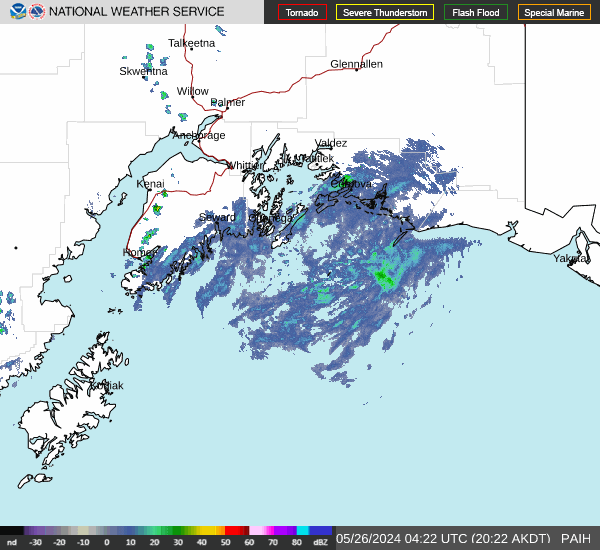
RADAR & SATELLITE IMAGES