News Headlines
- The active weather pattern remains for SE AK for the upcoming week with multiple systems pushing through. Monday will see breezy to windy conditions and moderate to heavy rain, as well as snow for the northern highways. Click here to read more...
- Curious how El Nino will potentially impact SE AK this winter? Click here to see a video breakdown of what El Nino could mean for SE AK going into the fall and winter.

Hazardous Weather Conditions
Last Update: 315 PM AKST Sun Nov 8 2026
For More Weather Information:
8NM SSW Point Latouche AK
Marine Zone Forecast
...GALE WARNING MONDAY...
Tonight
E wind 10 kt becoming NE 25 kt late. Out of disenchantment bay, gusts to 40 kt late. Seas 7 ft.
Mon
E wind 25 kt. Gusts to 45 kt out of disenchantment bay. Seas 15 ft building to 21 ft in the afternoon. S swell in the morning. Rain.
Mon Night
E gale to 35 kt in the evening diminishing to 25 kt late. Gusts to 40 kt out of disenchantment bay. Seas 25 ft. Rain.
Tue
E wind 20 kt. Seas 16 ft. S swell. Rain.
Tue Night
E wind 15 kt. Seas 10 ft. S swell. Rain.
Wed
E wind 10 kt. Seas 8 ft.
Thu
E wind 15 kt. Seas 7 ft.
Fri
NE wind 20 kt. Seas 10 ft.
Additional Forecasts and Information
Basemap Options
Click map to change the forecast location
Loading map...
 Forecast Area
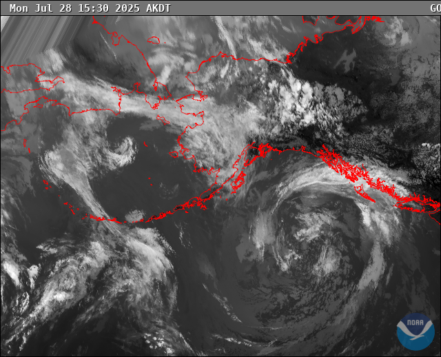
RADAR & SATELLITE IMAGES