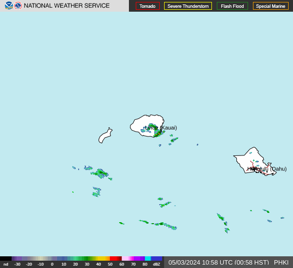


Last Update: 940 AM HST Wed Mar 18 2026
For More Weather Information:
34NM WSW Kekaha HI
Marine Zone Forecast
Rest Of Today
Southeast winds 7 to 10 knots. Seas 6 to 9 feet. Wave detail: north 8 feet at 12 seconds and south 4 feet at 15 seconds. Scattered showers.
Tonight
South southeast winds 10 to 15 knots. Seas 5 to 7 feet. Wave detail: north 6 feet at 12 seconds and south 4 feet at 15 seconds. Isolated showers.
Thursday
South southeast winds 10 to 15 knots. Seas 5 to 7 feet. Wave detail: north 5 feet at 11 seconds and south 4 feet at 14 seconds. Isolated heavy showers in the morning, then heavy showers likely in the afternoon.
Thursday Night
South southwest winds 7 to 10 knots. Seas 4 to 6 feet. Wave detail: north 5 feet at 10 seconds and south 3 feet at 13 seconds. Heavy showers likely in the evening. Isolated thunderstorms. Scattered heavy showers after midnight.
Friday
Southwest winds to 10 knots. Seas 5 to 7 feet. Wave detail: north 6 feet at 11 seconds and south 3 feet at 13 seconds. Scattered showers in the morning. Isolated thunderstorms. Isolated showers in the afternoon.
Friday Night
Southwest winds 10 to 15 knots. Seas 5 to 7 feet. Wave detail: north 6 feet at 11 seconds. Heavy showers likely with isolated thunderstorms.
Saturday
West southwest winds 10 to 15 knots, veering to west northwest after midnight. Seas 5 to 7 feet. Wave detail: north 5 feet at 11 seconds and south 3 feet at 18 seconds. Heavy showers. Isolated thunderstorms. Isolated showers after midnight.
Sunday
North winds 10 to 15 knots. Seas 5 to 7 feet. Wave detail: northwest 5 feet at 14 seconds. Isolated thunderstorms. Isolated showers.
winds and seas higher in and near tstms.
winds and seas higher in and near tstms.
Winds and seas higher in and near tstms.
Additional Forecasts and Information
Basemap Options
Click map to change the forecast location
Loading map...


