News Headlines

Last Update: 1003 PM EDT Mon Sep 21 2026
For More Weather Information:
8NM NNW Niagara Falls NY
Marine Zone Forecast
Overnight
East winds 10 to 15 knots becoming northeast. Mostly cloudy.
Tuesday
Northeast winds 10 to 15 knots becoming east 15 to 20 knots. Partly sunny.
Tuesday Night
East winds 15 to 20 knots diminishing to 5 to 10 knots. Partly cloudy.
Wednesday
East winds 5 to 15 knots. Mostly sunny.
Wednesday Night
East winds 5 to 15 knots. Partly cloudy.
Thursday
East winds 10 knots or less becoming northeast. Mainly clear.
Friday
Northeast winds 10 knots or less becoming north. Mainly clear, then becoming partly cloudy.
Saturday
North winds 10 knots or less. Mainly clear, then becoming partly cloudy.
Additional Forecasts and Information
Basemap Options
Click map to change the forecast location
Loading map...
 Forecast Area
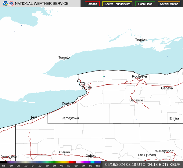
RADAR & SATELLITE IMAGES