Heavy to Excessive Rainfall This Week from the Southwest into Central U.S.; Severe Weather in the Southern Plains
Pacific tropical moisture wrapping into a storm will continue a multi-day heavy rainfall event this week that will impact multiple areas in the Plains and Intermountain West. Isolated severe thunderstorm wind gusts and possibly a tornado or two could occur tonight from southern and eastern New Mexico into west Texas. Read More >

Last Update: 311 PM CDT Tue Sep 29 2026
For More Weather Information:
44NM W Morgan City LA
Marine Zone Forecast
Tonight
Southeast winds 10 to 15 knots. Bay waters choppy.
Wednesday
Southeast winds 10 to 15 knots. Bay waters choppy.
Wednesday Night
Southeast winds 15 to 20 knots, diminishing to 10 to 15 knots after midnight. Bay waters rough.
Thursday
Southeast winds 10 to 15 knots with gusts up to 20 knots. Bay waters choppy. A chance of showers. A slight chance of thunderstorms in the afternoon.
Thursday Night
Southeast winds 10 to 15 knots with gusts up to 20 knots. Bay waters choppy. A slight chance of thunderstorms. A slight chance of showers in the evening, then a chance of showers after midnight.
Friday
Southeast winds around 10 knots. Bay waters light chop. Showers likely with a slight chance of thunderstorms in the morning, then showers with a chance of thunderstorms in the afternoon.
Friday Night
East winds 5 to 10 knots. Bay waters light chop. A chance of thunderstorms. A chance of showers in the evening, then showers likely after midnight.
Saturday
Southeast winds 5 to 10 knots. Bay waters light chop. Showers with a chance of thunderstorms.
Saturday Night
East winds 5 to 10 knots. Bay waters light chop. Showers likely with a chance of thunderstorms.
Sunday
East winds 5 to 10 knots. Bay waters light chop. Showers. A slight chance of thunderstorms in the morning, then a chance of thunderstorms in the afternoon.
Sunday Night
Northeast winds 5 to 10 knots, increasing to 10 to 15 knots after midnight. Bay waters choppy. Showers likely with a slight chance of thunderstorms in the evening, then a chance of showers after midnight.
winds and waves higher in and near thunderstorms.
winds and waves higher in and near thunderstorms.
Winds and waves higher in and near thunderstorms.
Additional Forecasts and Information
Basemap Options
Click map to change the forecast location
Loading map...
 Forecast Area
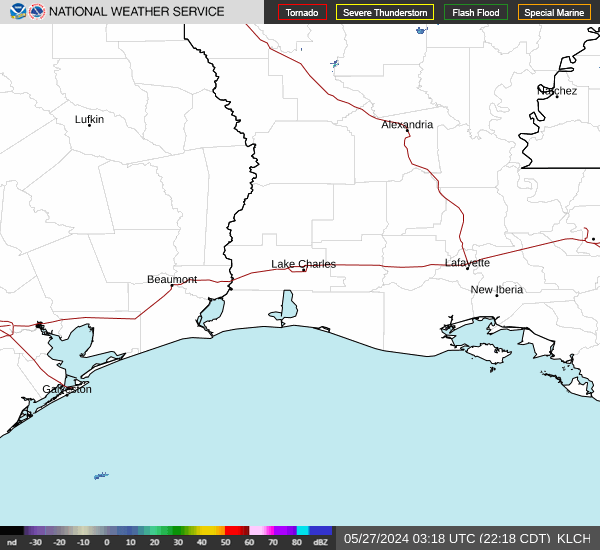
RADAR & SATELLITE IMAGES