Precipitation in the Pacific Northwest into the Northern Rockies; Bering Sea Storm in Alaska
A Pacific storm will bring rain and high elevation snow from the Pacific Northwest into the Northern Rockies. A series of storms are expected to move through the Bering Sea bringing strong winds, heavy precipitation, and elevated water levels from the West Coast to northern Alaska. Read More >

Hazardous Weather Conditions
Last Update: 614 AM AKDT Mon Oct 26 2026
For More Weather Information:
12NM SW Shaktoolik AK
Marine Zone Forecast
...SMALL CRAFT ADVISORY IN EFFECT THROUGH THIS AFTERNOON...
Rest Of Today
SW winds 25 kt. Seas 5 ft.
Tonight
S winds 20 kt. Seas 4 ft.
Tue
S winds 25 kt. Seas 5 ft.
Tue Night
S winds 25 kt. Seas 5 ft.
Wed
SE winds 25 kt. Seas 5 ft. Rain.
Wed Night
SW winds 20 kt. Seas 7 ft.
Thu
SE winds 30 kt. Seas 6 ft.
Fri
SE winds 20 kt. Seas 4 ft.
Basemap Options
Click map to change the forecast location
Loading map...
 Forecast Area
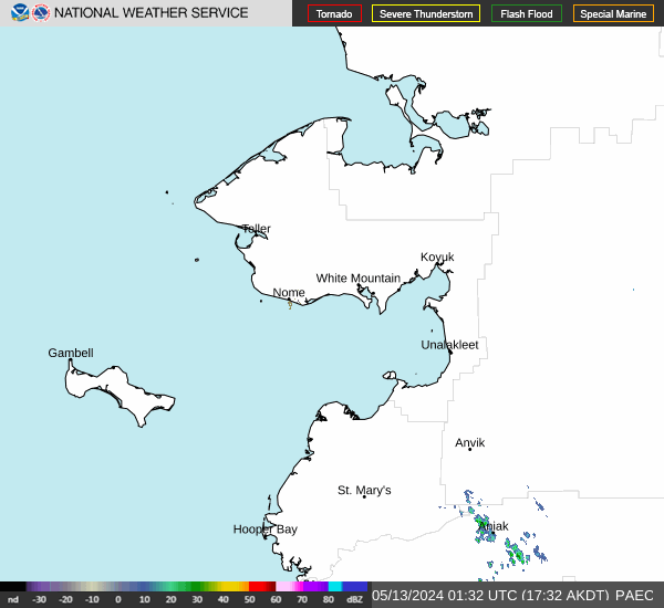
RADAR & SATELLITE IMAGES