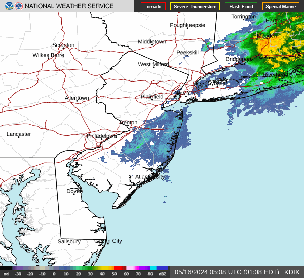


A coastal storm is expected to impact portions of the area Saturday night through Sunday.
A coastal storm is expected to impact the area Saturday night through Sunday. Impacts are expected to be confined mainly near the coasts of New Jersey and Delaware, where the highest light snowfall accumulations will occur. Minor coastal flooding and strong winds are also forecast along the Atlantic coast. Read More >

Hazardous Weather Conditions
Last Update: 402 PM EST Thu Jan 29 2026
For More Weather Information:
31NM SSE New York NY
Marine Zone Forecast
...SMALL CRAFT ADVISORY IN EFFECT THROUGH FRIDAY AFTERNOON... ...FREEZING SPRAY ADVISORY IN EFFECT THROUGH FRIDAY AFTERNOON... ...GALE WATCH IN EFFECT FROM SATURDAY EVENING THROUGH SUNDAY EVENING...
Tonight
NW winds 15 to 20 kt with gusts up to 25 kt. Seas 2 to 3 ft. Wave detail: NW 3 ft at 4 seconds. Light freezing spray.
Fri
NW winds 15 to 20 kt with gusts up to 25 kt. Seas 2 to 3 ft. Wave detail: NW 3 ft at 4 seconds. Freezing spray.
Fri Night
NW winds 15 to 20 kt, diminishing to 10 to 15 kt after midnight. Seas 2 to 3 ft. Wave detail: NW 2 ft at 4 seconds. Light freezing spray in the evening.
Sat
N winds 10 to 15 kt. Seas around 2 ft. Wave detail: N 2 ft at 4 seconds.
Sat Night
N winds 20 to 25 kt with gusts up to 30 kt, increasing to 25 to 30 kt with gusts up to 40 kt after midnight. Seas 2 to 4 ft, building to 5 to 7 ft after midnight. Wave detail: N 4 ft at 5 seconds, becoming NE 7 ft at 6 seconds. A chance of snow. A chance of freezing spray. Vsby 1 to 3 nm.
Sun
N winds 25 to 30 kt with gusts up to 40 kt. Seas 6 to 9 ft. Wave detail: NE 9 ft at 7 seconds and E 5 ft at 9 seconds. A chance of snow. A chance of freezing spray. Vsby 1 nm or less, increasing to 1 to 3 nm in the afternoon.
Sun Night
NW winds 25 to 30 kt, diminishing to 20 to 25 kt after midnight. Seas 6 to 9 ft.
Mon
NW winds 15 to 20 kt, diminishing to 10 to 15 kt in the afternoon. Seas 5 to 7 ft.
Mon Night
NW winds 10 to 15 kt. Seas 3 to 5 ft.
Tue
NW winds 10 to 15 kt. Seas 2 to 3 ft.
Tue Night
NW winds 10 to 15 kt. Seas 2 to 3 ft.
Additional Forecasts and Information
Basemap Options
Click map to change the forecast location
Loading map...


